Integrated Illicit Crops Monitoring System -SIMCI-
 |
|
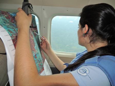 |
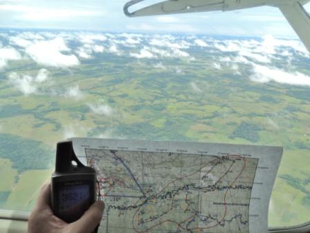
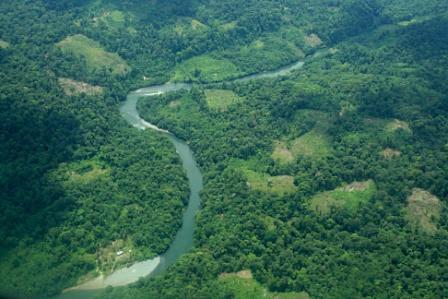
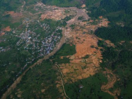
Since the year 2000, the SIMCI Project has been assessing the coverage of areas affected by the cultivation of illicit crops. These areas correspond to geographical regions with specific social, economic and cultural characteristics. This monitoring has allowed for the identification of how phenomena such as the fragmentation of forests, the degradation of soils and the loss of flora and fauna have affected the country's environment, mainly due to the logging and burning of natural forests, actions directly caused by the cultivation of illicit crops.
The SIMCI Project produces annual information on the levels of illegal crop cultivation. This basic data is used to conduct a spatial analysis that has allowed the Programme to evaluate changes that occur in the cultivation of illegal crops in different areas, identified by satellite images over different periods of time. As a result of this multi-temporal analysis, SIMCI has identified the dynamic of the illicit crops and their impact on transforming the surrounding landscape. Over 10 years, this work has generated data on deforestation and the levels of cultivation in different areas.
|
|

|